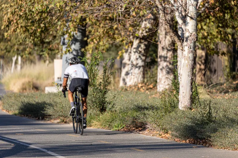
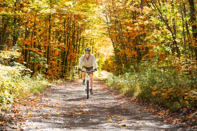
Skip the Crowds: America's Hidden River Corridors Are the Bike Trips You've Been Missing
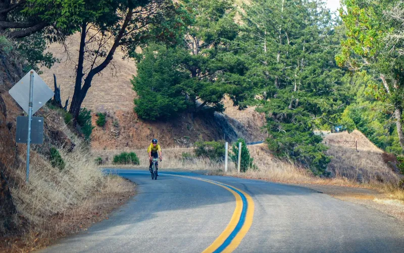
Every summer, the same conversation plays out in cycling circles. Someone mentions Moab and gets a collective groan. Another person brings up the Virginia Creeper and is reminded it's been "discovered" for about a decade too long. The truth is, if you're chasing singletrack solitude or a multi-day bikepacking route that doesn't feel like a theme park queue, the answer might be flowing right past you — literally.
America's river corridors are having a quiet, unhurried moment. While the Instagram-famous destinations keep piling on parking fees and trail reservation systems, a different kind of cycling renaissance is happening along the banks of rivers most people only know from geography class. We talked to riders who've already figured this out, and what they're describing sounds less like a bike trip and more like a rediscovery.
The Potomac's Lesser-Known Side
Most cyclists who know the Potomac think of the C&O Canal Towpath — a legendary 184-mile gravel route from Cumberland, Maryland to Washington, D.C. But ask anyone who's ridden it lately and they'll tell you the real gems are the connector trails and side routes that branch off into the hills above the river.
Jamie Kowalski, a bikepacker from Pittsburgh who rode the full corridor last spring, put it simply: "Everyone knows the towpath. Hardly anyone knows what's just above it. We rode stretches where we didn't see another person for three hours."
The upper Potomac region — particularly around Hancock, Maryland and the West Virginia border — offers a combination of gravel roads, forest service tracks, and riverside camping that rivals anything out West for sheer mood and atmosphere. Lodging options in towns like Shepherdstown, WV have quietly leveled up, with small inns and B&Bs catering to the growing influx of cycle tourists who are starting to connect the dots.
Food-wise, don't sleep on the small-town diners along Route 340. The kind of place where a short stack and a side of bacon costs eight dollars and nobody looks twice at your chamois.
Mississippi Backroads: More Than Just Flat
Mention cycling the Mississippi River and most people picture the Great River Road — scenic, sure, but not exactly technical. What they're missing is the network of levee roads, gravel byways, and state forest tracks that fan out from the river in states like Missouri, Arkansas, and Mississippi itself.
Tamara Fields, a gravel cyclist from Memphis, has spent the better part of three years piecing together routes through the Mississippi Delta that she says "don't look like much on a map but feel enormous when you're riding them."
"There's this stretch through the Yazoo backwaters in Mississippi," she told us, "where the road is elevated above the floodplain and you're basically riding through a sea of cypress trees. I've shown people photos and they genuinely don't believe it's in the US."
The logistics here are part of the adventure. Small towns like Clarksdale, Mississippi have developed a low-key but genuine hospitality scene built around blues tourism that cyclists can tap into. Cheap motels with character, BBQ joints that have been smoking the same way for forty years, and locals who are genuinely curious about why you're carrying panniers through their county.
For riders who want a bit more infrastructure, the Katy Trail in Missouri — which follows the Missouri River rather than the Mississippi — offers 240 miles of packed limestone surface with a string of small towns and trailside accommodations that make multi-day trips genuinely accessible without sacrificing that off-the-beaten-path feeling.
Pacific Northwest Waterways: Wild and Waiting
Oregon and Washington get plenty of cycling attention, but most of it gravitates toward the coast or the Cascades. Meanwhile, the river corridors cutting through the interior — the Deschutes, the John Day, the Klickitat — are home to some of the most dramatic and least-crowded riding in the country.
The Deschutes River Trail system near Bend has been building momentum for years, but head further north along the river into the canyon country and the crowds thin out fast. Gravel roads follow the river through high desert terrain that shifts from sagebrush flats to rimrock canyons within a single day's ride.
Mike Tanaka, a Portland-based rider who's been exploring the John Day River corridor for the past two seasons, describes it as "the kind of place that makes you feel like you found something nobody else knows about, even though it's been there the whole time."
Logistics in this region reward a bit of planning. Small outfitter towns like Maupin, Oregon — perched above the Deschutes — have rafting-focused infrastructure that translates well to cyclists: shuttle services, gear storage, and riverside lodging that books up in summer but stays wide open in shoulder season. Spring and fall riding here is exceptional, with wildflower blooms in April and golden canyon light in October that photographers would pay serious money to witness.
What Makes River Riding Different
There's something that keeps coming up in conversations with riders who've gone deep on river corridor trips, and it's not just the scenery. It's the way a river organizes a journey.
Unlike a mountain loop or a point-to-point ridge route, following a river gives you a constant sense of orientation and narrative. You're always going somewhere. The terrain changes, the character of the water changes, the towns along the banks have a sequence and a logic to them. It's the original bikepacking framework, and it turns out it still works.
The other thing river routes tend to offer is a more forgiving entry point for riders who aren't chasing gnarly descents. That's not a knock — it's an invitation. A lot of the best river corridor riding mixes smooth gravel, dirt two-tracks, and paved back roads in a way that suits a wide range of fitness levels and bike setups. A loaded gravel bike or a hardtail with some volume in the tires will handle most of what these routes throw at you.
Planning Your River Trip
A few practical notes before you start routing:
- Shoulder season is your friend. May–June and September–October hit the sweet spot on most river corridors — weather is manageable, water levels are interesting, and the crowds that do exist are minimal.
- Research resupply carefully. Towns along river routes can be spaced far apart, and not every dot on the map has an open grocery store. Build in buffer miles and carry more food than you think you need.
- Check water conditions. Flooding and trail closures after heavy rain are real considerations on low-lying river routes. Most trail systems have social media accounts or websites that post current conditions.
- Talk to locals. Seriously. The best route intel on any river corridor comes from the people who live and ride there. Stop at the hardware store, the diner, the bait shop. Ask questions.
The rivers have been there the whole time. The trails are ready. The question is just whether you're willing to trade the familiar for something that might end up being a lot more memorable.
Sometimes the best ride of your life is the one nobody else thought to take.